
How to use this map:
1. Scroll to "POSTCODE"
2. Click on the box
3. Write your postcode on the box
4. Click ENTER
You can also click an area on the map to explore.
Information:
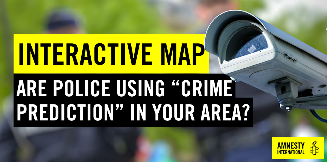
The map will give you information on whether your local police force uses "crime predicting" technology, and if so, which one.
The map will also include stop and search rates and demographics in your area, as well as how the stop and search rate compares to other police forces.
Amnesty International UK's report Automated Racism exposes how almost three-quarters of UK police forces are using technology to try to “predict crime” - with little regard for our human rights.
Police call it "predictive policing". And we need to stop it.